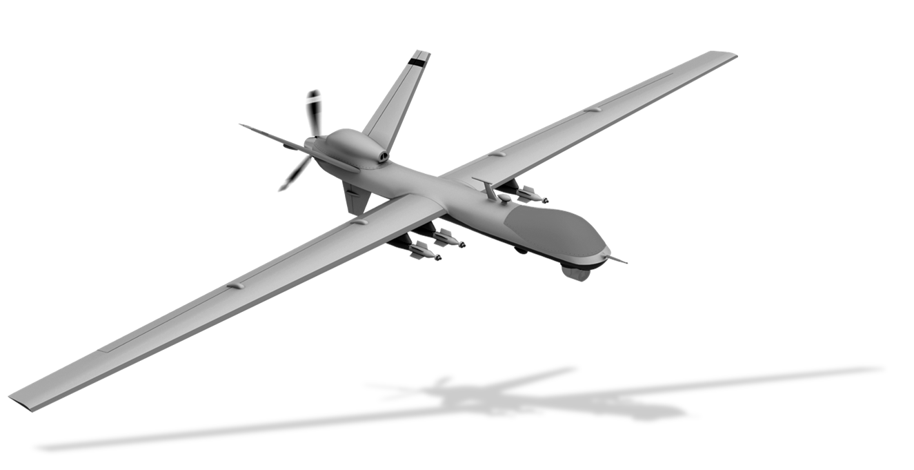
A search and rescue drone is an unmanned aircraft used by emergency services, such as police officers, fire-fighters or volunteer rescue teams, ideal for searching over vast areas for missing persons and crime victims in need of rescue and in any environment.
Unmanned aerial vehicles (UAVs / drones) can provide real-time visual information and data in the aftermath of an earthquake or hurricane.
These can also become an eye in the sky to locate a lost person (sea, mountains, deserts etc.)
When a disaster or incident threatens lives and livelihoods, emergency responders need information and real-time imagery in order to make better decisions and save time.
Our systems can provide situational awareness over a large area quickly, reducing the time and the number of searchers required to locate and rescue an injured or lost person, greatly reducing the cost and risks of search and rescue missions.
The possibilities for helping ensure public safety are endless.
These UAV/Drones are designed to provide cost effective, real time data and imaging, day or night, in challenging conditions and without risk to personnel.
Aiding in the search for missing persons is the infrared (IR) thermal imaging camera that can detect human body heat.
This capability greatly increases the ability to find people or objects at night that may be hidden, even during daytime operations.
Applications include:
- Search for suspects and missing persons
- Accident or crime scene investigation/documentation
- Search and recovery missions
- Disaster & emergency analysis





Mapping/GIS Services


We use drones (small unmanned helicopters and planes) for aerial surveys and mapping.
This is achieved by combining low altitude aerial photography with geometrically calibrated cameras and a technique called photogrammetry. With these pictures we create 3D digital elevation and terrain models as well as orthophoto mosaics.
First of all drones are very quick to deploy as they can even be flown with cloud cover.
The results are also better, both in resolution and accuracy, as the pictures are taken much lower than conventional aerial photography.
The individual images can be adjusted for the elevations in the terrain corrected for color differences due to changing weather conditions.
All the pictures can then be joined into a seamless orthophoto mosaic.
As the image is fully to scale it can then be imported directly in a CAD or GIS as a backdrop and used for measuring or mapping.
